FREE! Click here to Join FunTrivia. Thousands of games, quizzes, and lots more!
Quiz about Knowing Nicaragua

Knowing Nicaragua Trivia Quiz


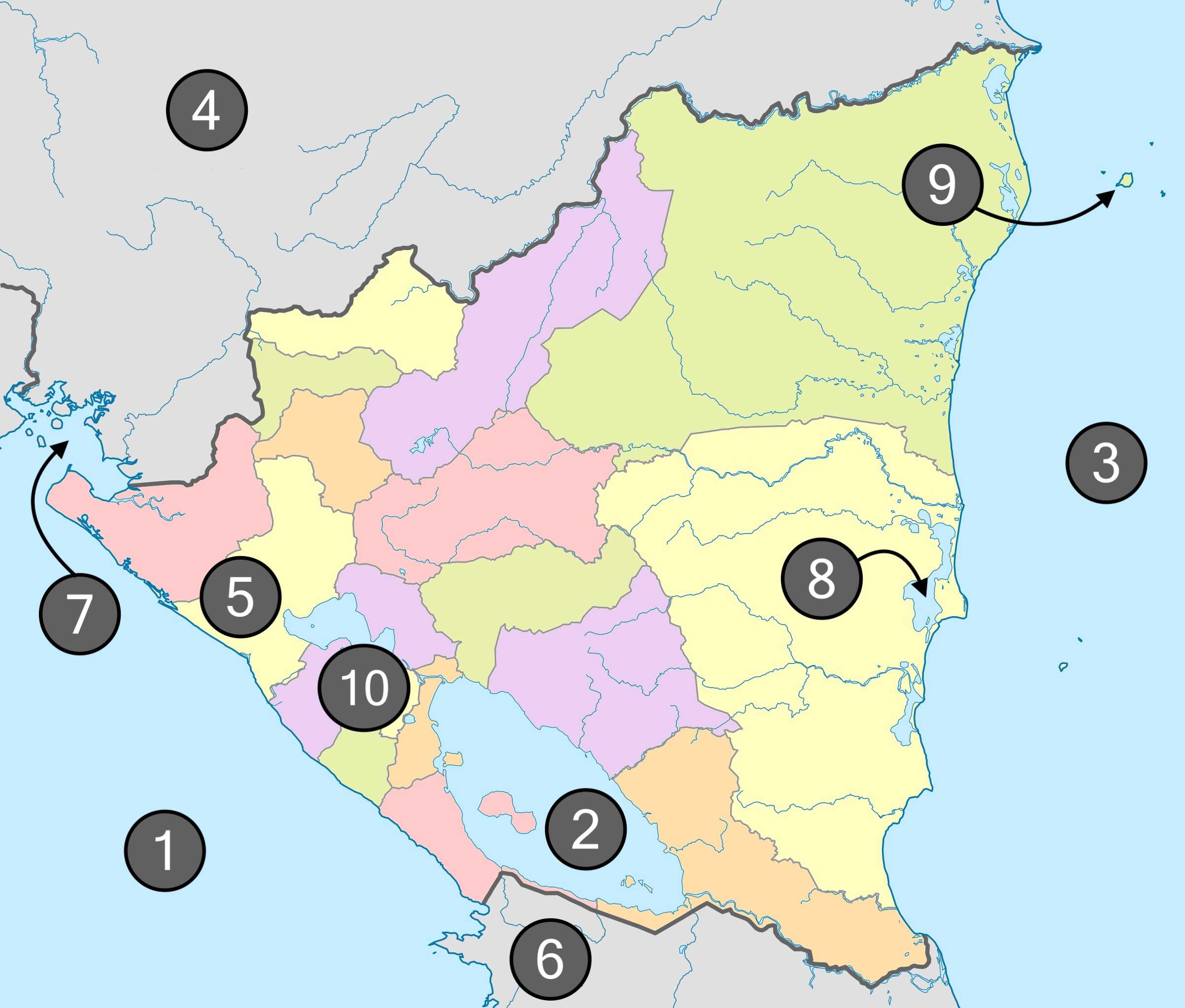
This quiz takes a look at the map of Nicaragua with ten labels related to geographical points of interest. Enjoy getting to know Nicaragua!

A label quiz by jonnowales. Estimated time: 3 mins.
  1. Home
  2. »
  3. Quizzes
  4. »
  5. Geography Trivia
  6. »
  7. Central America
  8. »
  9. Nicaragua

Author
jonnowales
Time
3 mins
Type
Label Quiz
Quiz #
415,109
Updated
Jun 27 24
# Qns
10
Difficulty
Average
Avg Score
8 / 10
Plays
71
Awards
Top 20% Quiz
Last 3 plays: DeepHistory (10/10), sadwings (6/10), spanishliz (8/10).
To correctly identify each label, the most specific answer is required.
León Lago Cocibolca Caribbean Sea Managua Miskito Cays Gulf of Fonseca Costa Rica Pearl Lagoon Pacific Ocean Honduras
* Drag / drop or click on the choices above to move them to the answer list.
1.   
2.   
3.   
4.   
5.   
6.   
7.   
8.   
9.   
10.   

Most Recent Scores
Sep 04 2024 : DeepHistory: 10/10
Aug 21 2024 : sadwings: 6/10
Aug 18 2024 : spanishliz: 8/10
Aug 12 2024 : magijoh1: 10/10
Jul 28 2024 : Bowler413: 10/10
Jul 25 2024 : calmdecember: 6/10
Jul 24 2024 : pehinhota: 10/10
Jul 23 2024 : Chinook1: 8/10
Jul 15 2024 : misstified: 10/10

Quiz Answer Key and Fun Facts
1. Pacific Ocean

Nicaragua is bordered to the west by the Pacific Ocean and the coastline is home to a bounty of beautiful beaches from north to south. At the southern end of Nicaragua's Pacific coast is the port of San Juan del Sur which has been designated the "Tourism City of Nicaragua" due to its popularity with both natives and foreign visitors alike (it is something of a surfer's paradise).

Dominating the San Juan del Sur skyline is a statue of Jesus Christ, 'Christ of the Mercy'. At the base of this 4.5 tonne monument is a quaint chapel.
2. Lago Cocibolca

The largest lake in Central America is referred to by a number of names including Lago Cocibolca, Lake Nicaragua and Granada (after the city on the northwest shores of the lake). Despite being situated closer to Nicaragua's Pacific coast, Cocibolca drains in to the Caribbean Sea via the San Juan River (Rio San Juan). Due to the San Juan River performing the function of draining the lake, it has been nicknamed "El Desaguadero" or "The Drain".

The San Juan river forms part of the Nicaragua - Costa Rica border.
3. Caribbean Sea

Nicaragua's east coast is on the Caribbean Sea with the majority of the coastline split between the two regions of North Caribbean Coast Autonomous Region (capital at Puerto Cabezas) and - you guessed it - South Caribbean Coast Autonomous Region (capital at Bluefields).

The two autonomous regions were formed from the division of Zelaya, a department that was significantly larger in area than any other in Nicaragua.
4. Honduras

Nicaragua's neighbour to the north is Honduras which has its capital city at Tegucigalpa. The border between the two countries is just shy of 600 miles long - 590 miles to be more exact - with over half of that distance comprised of a natural border in the form of the Coco River (Rio Coco or Wangki).

The Rio Coco flows into the Caribbean Sea at a cape on the Mosquito Coast named Cabo Gracias a Dios which translates into English as Cape Thank God.
5. León

Situated approximately ten miles from the Pacific coast, León is a large city in Nicaragua that has become a major cultural hub for the country; the city has more than a plentiful supply of beautiful churches, university buildings and historical monuments.

The city coexists with the dramatic natural environment in the area, consisting of beaches and geothermal springs as well as active volcanoes such as Momotombo and Cerro Negro.
6. Costa Rica

Bordering Nicaragua to the south is Costa Rica, a constitutional republic with its capital city located right at the heart of the nation in San José. Like Nicaragua, Costa Rica is known for its production of high quality coffee beans; Costa Rica's mountainous terrain, climate and volcanicity (ash helps with oxygenation which leads to an enhanced flavour profile) makes the country's arabica beans a sought after product.
7. Gulf of Fonseca

The Gulf of Fonseca (Golfo de Fonseca) is a small body of water that borders three Central American countries: Nicaragua, Honduras and El Salvador. Given the shape of the gulf (particularly its narrow entrance) and proximity to three nations, it comes as no surprise that there have been numerous territorial and access disputes over the years.

In 1992, the International Court of Justice (ICJ) provided written judgements in order to resolve the 'Land, Island and Maritime Frontier Dispute' relating, firstly, to the delimitation of disputed or undefined frontier lines, and secondly, to "determine the legal situation of the islands in the Gulf of Fonseca and the maritime spaces within and outside it". A very messy business indeed but the written decisions are available online if you require some bedtime reading!

The gulf was named for Archbishop Juan Rodriguez de Fonseca, counsellor to the "Catholic Monarchs", Ferdinand and Isabella.
8. Pearl Lagoon

Pearl Lagoon (Laguna de Perlas) is the name of a lagoon on the Caribbean coast of Nicaragua and also the name of a town that exists alongside it. A short distance away, in the Caribbean Sea, are the Pearl Cays which are a group of eighteen pristine sandy islands that act as a sanctuary for species of turtle.

The 'Oxford Dictionary of English' has a few definitions for a lagoon including "a stretch of salt water separated from the sea by a low sandbank or coral reef" and in North American and Australian usage, "a small freshwater lake near a larger lake or river".
9. Miskito Cays

The Miskito Cays is a group of over seventy geographical features such as islets, seagrass beds and coral reefs. The Miskito Cays constitute a Ramsar site, an area that falls under the 'Ramsar Convention' which selects wetlands from around the globe "on account of their international significance in terms of ecology, botany, zoology, limnology or hydrology". This Nicaraguan site is highlighted by 'Ramsar' as having "estuaries bordered by mangrove forests in near-natural state".

Limnology caught me by surprise as I had never before heard of the term or have long forgotten about it! Limnology is the study of inland waters.
10. Managua

Nicaragua's capital city, Managua, sits on the southern shores of Lake Managua (Lake Xolotlán). In recent decades, efforts have been made to clean up Lake Managua which had become polluted through the body of water accumulating waste chemicals and untreated sewage. A sewage treatment plant was constructed in order to - in part - deal with this ecological issue but the clean-up job remains a work in progress.

A natural contribution towards the pollution arises from Lake Managua suffering from poor drainage. There is a river, Rio Tipitapa, that connects Lake Managua and Lake Nicaragua but this drainage mechanism only functions when the water levels of Lake Managua are too high. Even then, the mechanism only works partially as Rio Tipitapa becomes overwhelmed leading to flooding in Managua and its surrounding settlements.
Source: Author jonnowales

This quiz was reviewed by FunTrivia editor agony before going online.
Any errors found in FunTrivia content are routinely corrected through our feedback system.
9/7/2024, Copyright 2024 FunTrivia, Inc. - Report an Error / Contact Us