Quiz Answer Key and Fun Facts
1. The Republic of Dahomey existed from 1960 until 1975, when it was given the more politically-neutral name of Benin. After what geographical feature was the country renamed?
2. What major African river forms the border between Benin and its neighbour to the northeast, Niger?
3. As well as Niger, Benin shares a border with three other countries. Which of these is NOT one of them?
4. Benin is a key-shaped country (a thin rectangle with a rounded swelling on one end). In which portion of the country is the rounded bulge located?
5. With an area of 112,622 sq km (43,484 sq mi), Benin is about the same size as which American state?
6. How is the climate of Benin described in the 2010 CIA World FactBook?
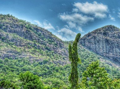
7. Benin is a fairly flat country, with an average height above sea level of 200 m (650 ft), but there are some mountains in the northwest. The peak of which mountain is the highest point in Benin, with an altitude of 658 m (2160 ft)?
8. Near the border with Burkina Faso, surrounded by the Atakora mountain range and bounded by a river, is Benin's most important national park. What is its name (in English)?
9. Cotonou, the largest city of Benin, is located close to Lake Nokoue, where the village of Ganvie can be found. What is unusual about Ganvie which brings tourists flocking with their cameras?
10. The official capital of Benin is Porto-Novo, its second-largest city. In the 1990s, an important resource was discovered nearby. Which one?
Source: Author
looney_tunes
This quiz was reviewed by FunTrivia editor
Pagiedamon before going online.
Any errors found in FunTrivia content are routinely corrected through our feedback system.

